
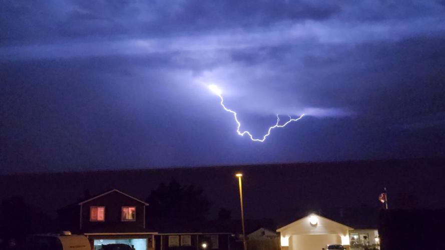
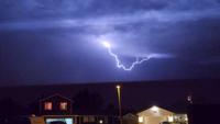
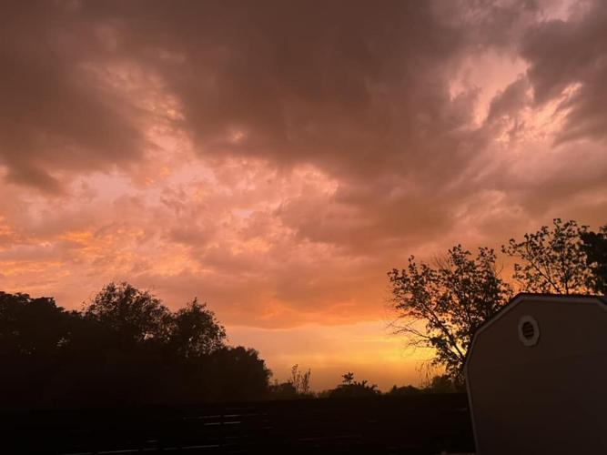
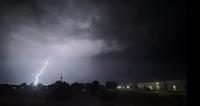
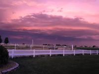
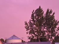
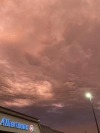
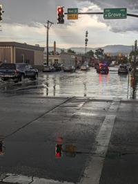
Thunderstorms on Tuesday night brought flash floods, wind, hail and lightning to certain pockets of Boise, Ada County and the Treasure Valley.
More could be in the offing in the coming days.
Jaret Rogers, a meteorologist with the National Weather Service in Boise, said there has been more rainfall than usual for this time of year, and additional storms are forecasted heading into the weekend.
“We’re definitely in a very wet pattern in June right now, especially with the thunderstorms predicted to roll through,” he said.
Tuesday night’s storm caught the attention of many who were in or near the Boise area.
Gov. Brad Little tweeted that it was perhaps the biggest rainfall he ever witnessed in Idaho before reminding motorists to drive safely and stay out of high water points on roadways.
In an interview with the Idaho Press, Jon Roberts with the U.S. Army Corps of Engineers called the storm “a unique weather event that passes right there, directly in the city.”
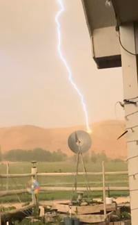
And according to the National Weather Service, there were more lightning strikes in Ada County on Tuesday than any day on record since 2000.
Rogers pointed out that the storm was dramatic in certain parts of the Treasure Valley and a non-factor in others.
Areas near downtown Boise and the campus of Boise State University received a whopping 1.85 inches of rain, while Eagle had 1.27.
Conversely, there were other sectors of Ada County that got a half-inch while “parts of Meridian hardly got any,” Rogers said.
Caldwell got just 1/100th of an inch of precipitation — “basically sprinkles,” Rogers said — while the majority of Canyon County was “generally pretty quiet,” he added.
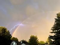
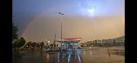
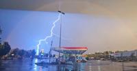
Drone Footage of Beautiful Double Rainbow + Lightning Storm over Boise, Idaho 6/6/23.#boise #doublerainbow #Lightning #sunset @KTVB @NWSBoise @weatherchannel @CBS2Boise @IdahoNews6 @TheIdahoPress @IdahoITD @IDAHOgov @visitidaho @CityOfBoise @KUTV2News @KPVI
— Michael Papadakis (@Sunscribes) June 7, 2023
🎥:@Sunscribes pic.twitter.com/bP7HiHuVhv
Do you LOVE local news? Get Local News Headlines in your inbox daily.
The Boise Airport, which is the official precipitation marker in the Treasure Valley, measured 0.56 inches of rain on Tuesday night.
Such is the fickle nature of thunderstorms, Rogers said.
“One area can get an inch of rain and five miles away can get nothing,” he pointed out. “They’re tricky.”
Still, Rogers said, “the fact some locations got over an inch, that’s pretty exceptional.”
The record rainfall day at the Boise Airport in June is 0.86 inches in 1941. Rogers said that daily records in Boise city this month are generally around or just over an inch.
“You can infer this was an upper-end rainfall event, especially in early June,” he said.
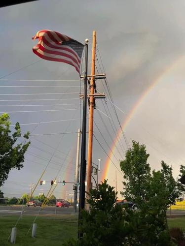
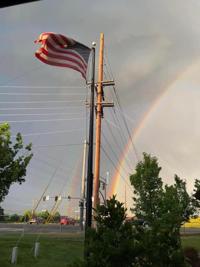
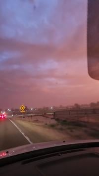
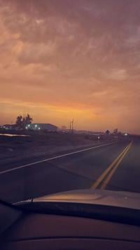
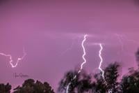
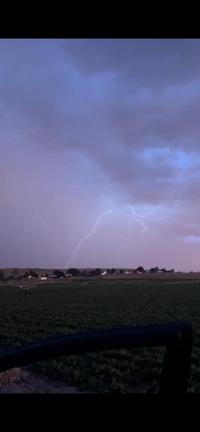
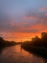
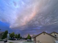
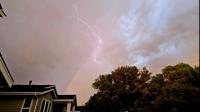
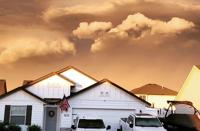
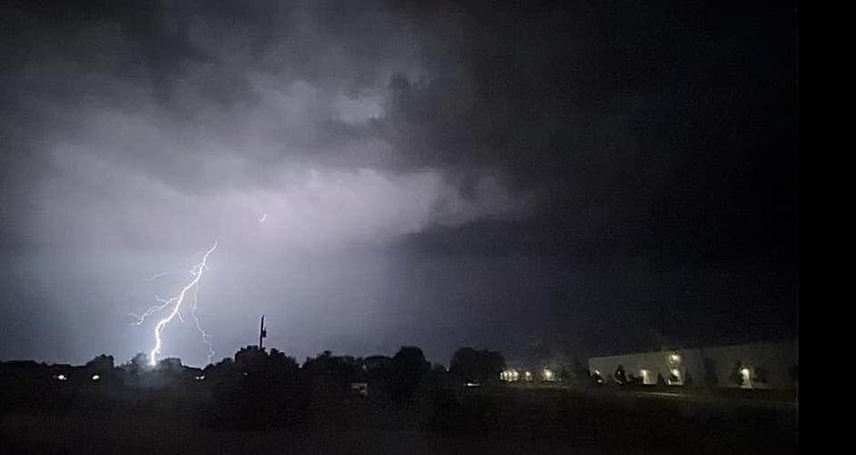
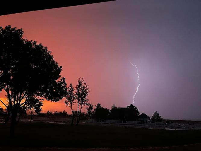
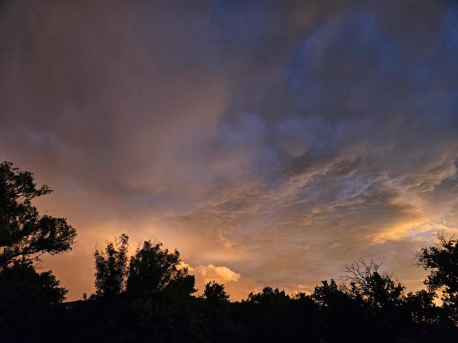
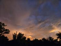
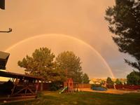
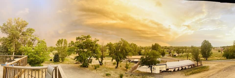
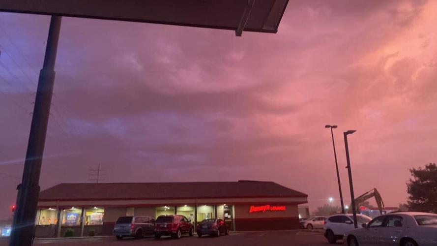
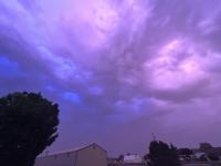
PHOTOS: Thunderstorms pelt Boise
The photos in this gallery were submitted by Idaho Press readers and reporters. More photos, plus video clips, can be viewed on the Idaho Press Facebook page.


More figures to be in store in the immediate future. While rain was in the forecast Wednesday night, Rogers said chances of precipitation climb to 60% and 80% on Thursday and Friday, respectively.
More precipitation could follow this weekend and early next week.
“Pretty much every day we have some chance of storms,” he said.
That’s good news for southern Idaho, which was mired in drought last year. A look at the U.S. Drought Monitor Map, which was updated June 1, had the vast majority of the region currently out of drought conditions, including Ada and Canyon counties.
“It certainly is good,” Rogers said. “The snowpacks have been good — particularly for the southern part of Idaho. The combo of the snowy winter in the mountains and the rain we’re getting this time of year, it’s certainly helping stave off any drought conditions.”
Average precipitation in the Treasure Valley from Jan. 1 to now is 6.67 inches, Rogers said. This year, the region has seen 6.27 inches so far.
“It may take one or two storms to bump us up to normal or above that,” he said.